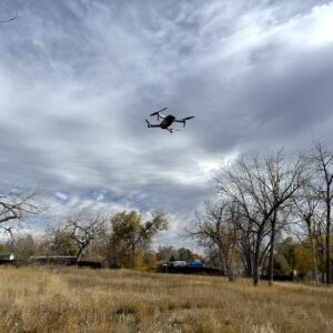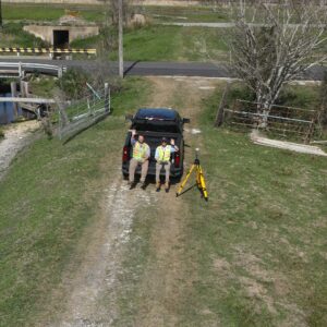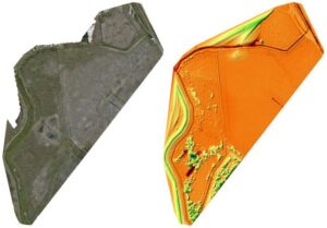
Rule Engineering offers drone surveying services to support grading, drainage, SPCC, wetlands, and other environmental projects. Our in-house FAA Part 107–licensed pilot captures high-resolution aerial data to help you visualize and document site conditions, calculate cut-fill elevations, and make smarter decisions—safely and efficiently.
Need LiDAR? We can also rent and operate larger drones equipped with LiDAR technology for high-precision topographic and environmental mapping.